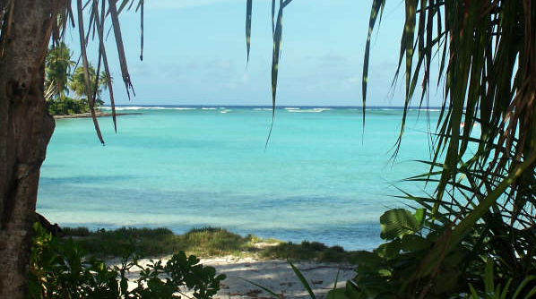
Kiribati: Credit: jopolopy via Flickr.
The Pacific island nation of Kiribati (say: Kirr-y-bus) is comprised of 32 coral atolls and 1 raised coral island spread across 1.3 million square miles (3.5 million square kilometers) of ocean. It bumps up against many parameters of our world: the equator, the International Date Line, and—most important to its 100,000 inhabitants—sea level.
That’s because the atolls rise only about 6.5 feet (2 meters) above today’s sea level. Not high enough to withstand any of the projected rises—low, medium, or high—this century.
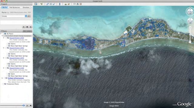
To get a sense of how the projections play out, the Republic of Kiribati has created an interactive Google Earth layer showing which parts of what islands will become uninhabitable under different projections of sea level rise by 2030, 2050, 2070, and 2100. You can access it at the end of the document here.
Now the government of Kiribati intends to purchase 9.6 square miles (25 square kilometers) on the high island of Viti Levu in Fiji, nearly 1,400 miles (2,253 km) southeast of Kiribati, for their people to move to if—when—necessary. Reports New Scientist:
“Relocation is our last resort,” [said President Anote Tong last week], adding that effects of climate change are already hindering the nation’s economic development.
I first wrote about this problem as it affected Kiribati’s neighbors, the Pacific islands nation of Tuvalu, in my 2003 MoJo article, All the Disappearing Islands (and more in my book The Fragile Edge). Tuvalu was already experiencing land loss due to rising high tides inundating their water table and sowing their soil with saltwater and threatening to make their islands uninhabitable long before they actually disappear beneath the waves.
Both of these island nations have contributed only a fraction of a percent of the total greenhouse gas emissions now virtually guaranteeing to drown them.


